
RESOURCESAT-2A is a Remote Sensing satellite intended for resource monitoring.
RESOURCESAT-2A is a follow on mission to RESOURCESAT-1 and RESOURCESAT-2, launched in 2003 and 2011 respectively.
RESOURCESAT-2A is intended to continue the remote sensing data services to global users provided by RESOURCESAT-1 and RESOURCESAT-2.
Read: Rohini Satellite
 |
| Credit: ISRO |
The new satellite provides the same services as the other Resourcesat missions.
RESOURCESAT-2A aims to deliver multispectral image products for a variety of applications in agriculture, forest mapping, water resource management, rural infrastructure, and disaster management.
ResourceSat-2 was launched atop a PSLV rocket in April 2011 with a five-year life expectancy
Resourcesat-2A was launched in December 2016.
Payload detail:
• Advanced Wide-Field Sensor (AWiFS): It operates in three spectral bands in VNIR and one band in SWIR. It provides images with a 56-meter spatial resolution that would be useful at the State level.
• The Linear Imaging Self-Scanning Sensor (LISS-III): It operates in three-spectral bands, two in VNIR and one in Short Wave Infrared bandwidth. With 23.5 meters spatial resolution it can provide images at the district level.
• LISS-IV Camera: It operates in three spectral bands in the Visible and Near-Infrared Region with a 5.8-meter spatial resolution that can provide information at taluka level.
Also Read: SRMSAT
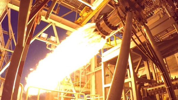
 |
| Credit:ISRO |
Mission overview:
- Mission: Remote sensing
- Mission duration: 5 Years
- Launch mass: 1235 kg
- Launch date: 7th December, 2016j
- Rocket: PSLV C36
- Operator: ISRO
- Launch site: Sriharikota
- Reference system: Geocentric
- Regime: LEO
- Inclination: 98.72 degree
 |
| Credit: ISRO |


0 Comments